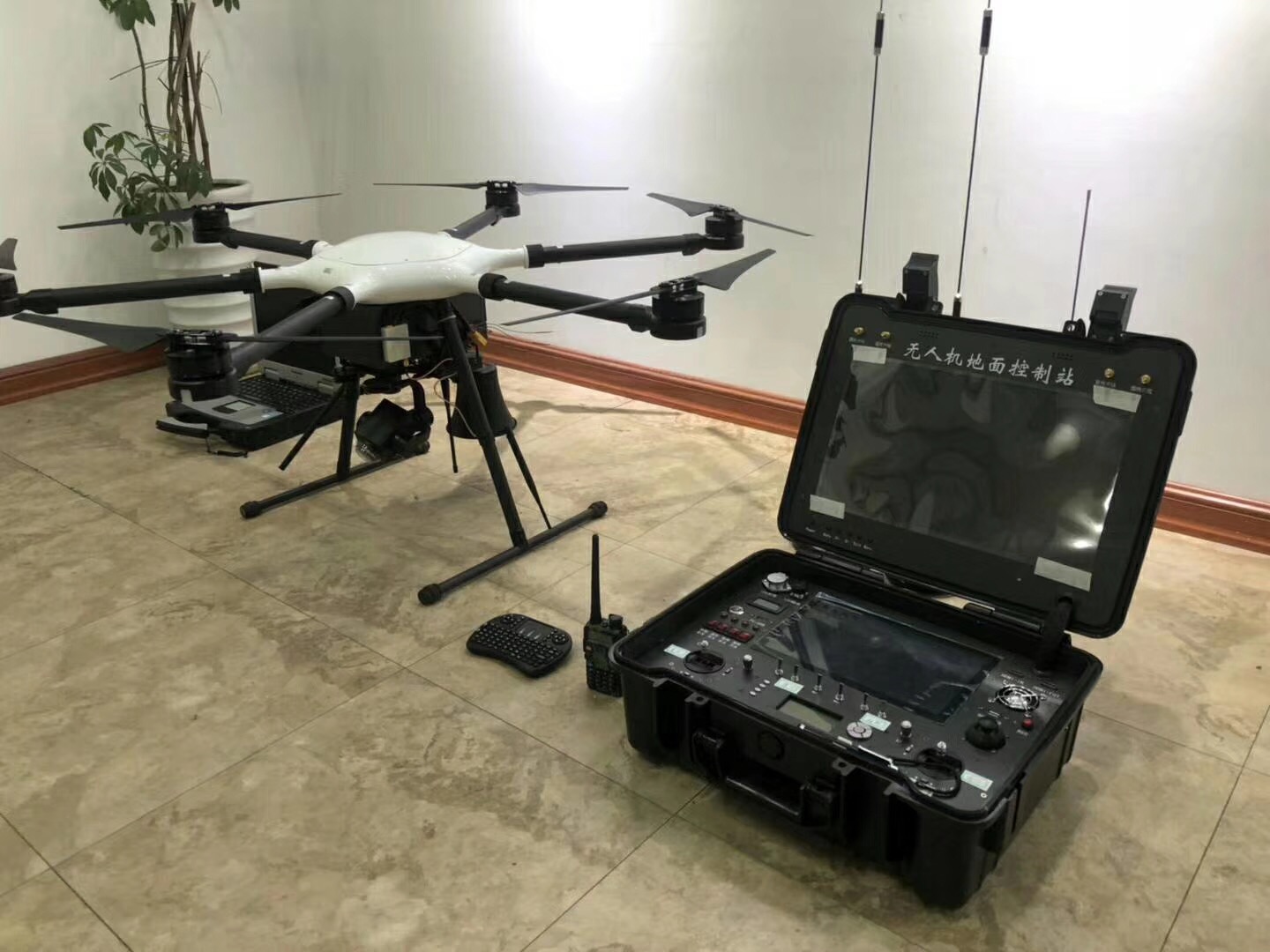
Firstly, we need to place the aircraft at a suitable take-off point, plug in batteries. Open the remote control. Click Agri Assistant icon. Connect H16, click Ground plan, Click the three-dot icon in the upper right corner. Do calibration right now. Click compass calibration. If the indicator light is steady yellow, it means that the compass calibration program is started. Rotate the aircraft horizontally until the aircraft status indicator is steady green. Then turn the aircraft nose down and rotate again until the indicator light flashes alternately in red, green and yellow, and the calibration is completed.
Click completed in the app. When the screen indicates that the GPS is good. Which means the drone is in GPS mode. We can take off the aircraft now. Unlock the motor and take off. The first icon means to control the angle of camera. Pitch and lateral, This is One hit back to middle. Next it’s take pictures , videos. The button in the bottom right corner means one-key return. Except that, you can landing by manual. When the drone lands on the ground, push the throttle down and hold three seconds until propellers all stopped.
http://www.youtube.com/watch?v=eH0weUS_2Fw